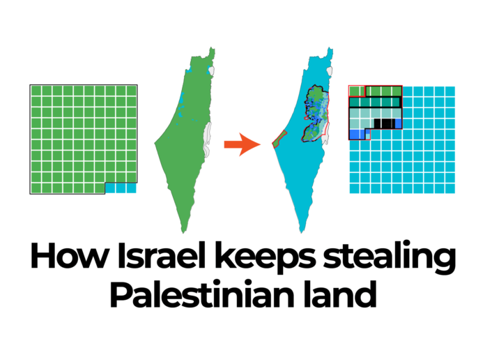
In 2024, Israel unlawfully took control of 23.7sq km (9.15 sq miles) of Palestinian land in the occupied West Bank during its ongoing conflict with Gaza.
This surpasses the total land seized in the past two decades combined.
Israeli authorities declared on July 2 the largest single seizure in over 30 years – 12.7sq km (4.9sq miles) in the Jordan Valley.
This is part of a series of land appropriations announced this year by Israel’s far-right Finance Minister Bezalel Smotrich, responsible for settlement planning.
According to Peace Now, an Israeli anti-settlement watchdog, Israel has taken over more than 50sq km (19.3sq miles) of Palestinian land since 1998.
This visual explanation by Al Jazeera delves into the land seized by Israel from Palestinians.
1917 – Pre-British Mandate Palestine
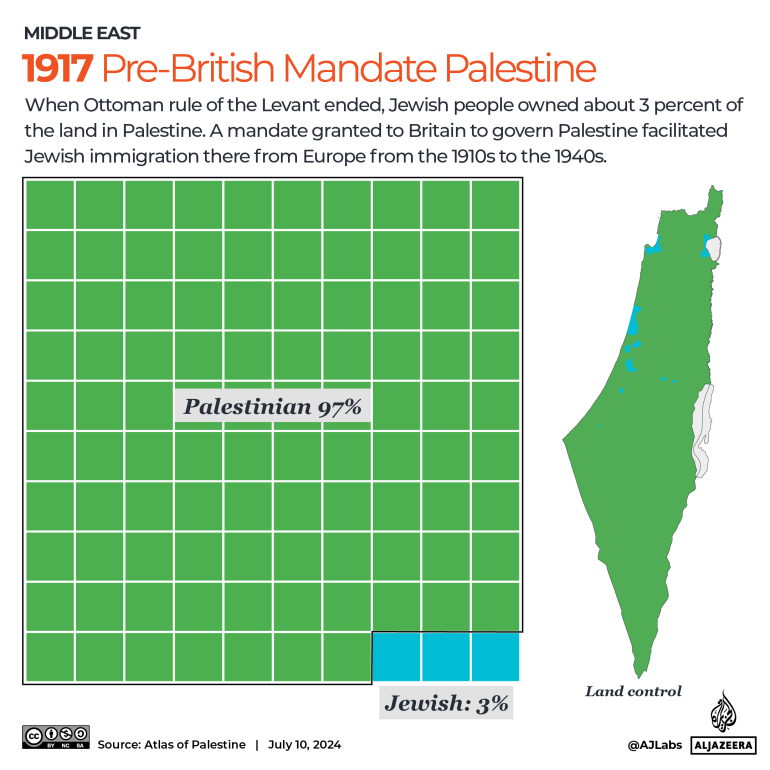
At the end of Ottoman rule in the Levant, Jewish individuals held approximately 3 percent of the land in Palestine.
During World War I, Britain reached agreements to secure the backing of various Middle Eastern groups. The notable 1917 Balfour Declaration pledged the “establishment in Palestine of a national home for the Jewish people.”
Following the mandate, Jewish immigration from Europe to Palestine took place from the 1910s to the 1940s, raising the Jewish population to 33 percent by 1947.
Historical Palestine covered 26,790sq km, comparable in size to Haiti (27,750sq km). Divided into 100 squares, it would resemble this:

… and so on for the rest of the content.


