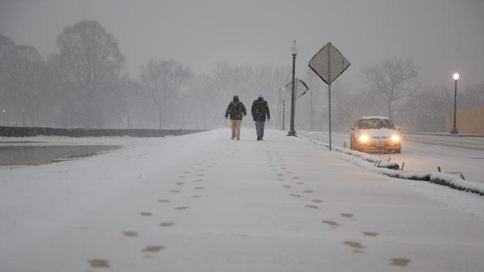
When a full-fledged snowstorm descended on the U.S. Gulf Coast in mid-January 2025, followed by a night of unprecedented cold across some bayous and beaches (see Part I of this two-part post), it did more than turn New Orleans and Mobile into winter wonderlands. It reignited a topic that’s cropped up again and again across science and media landscapes since the early 2010s: Is a warming Arctic affecting winter extremes over North America and Eurasia? And if so, how?
There’s actually a vigorous scientific debate on this topic. The debate might be opaque to casual news readers, but it’s important to everyone, from people who love winter weather to those tasked with preparing for it — including the millions affected by a sharp cold wave this week across the central and eastern U.S., accompanied by a belt of significant snow from Oklahoma to North Carolina.
Those who dismiss or deny climate change sometimes use a high-profile cold wave or snowstorm to inject snark, such as, “Enjoying this global warming yet?” Others sometimes leap from connections still being researched to make what look like ironclad conclusions, as in this often-memed statement: “The frigid temperatures you’re experiencing are happening BECAUSE of a warming climate, not in spite of it.”
While people fling snowballs back and forth on social media, dozens of scientists have been tackling the topic in much greater depth for more than a decade. One group has doggedly analyzed upper-air patterns and how they relate to Arctic amplification, a term for the observation that the Arctic is warming faster than other areas of the world. Their goal: explain why cold and snow extremes don’t seem to be fading everywhere, as one might expect in a warming climate.
Another group has just as doggedly scrutinized decades of observations and computer-model replications of recent climate. They’ve confirmed that the sharpest cold extremes are becoming less frequent across most of the midlatitude Northern Hemisphere, the broad belt between roughly 35 and 65 degrees north of the equator that covers much of the U.S., Canada, Europe, Russia, and China. And they suspect natural climate variation – rather than a rapidly warming Arctic – most likely explains why cold and snow extremes have maintained their edge in a few areas over the last several decades.
There’s also a newer line of research folding high-resolution weather models into global climate projections. It’s starting to yield more clues as to how U.S. snowfalls might evolve later this century, including what one group sees as an eventual near-elimination of Southern snowstorms.
The bottom line: It seems likely that most Americans will see a decrease in winter weather over the coming decades. Yet there are some crucial caveats – including the risk of putting winter’s hazards on the shelf way too quickly.
The evolution of Arctic-midlatitude research
As far back as the 1990s, scientists warned that not all effects of climate change would be straightforward. One example is the “wet get wetter, dry get drier” paradox. A warming atmosphere allows more moisture to evaporate from dry landscapes, worsening drought impacts, as well as from oceans, helping intensify extreme rainfall.
Warmer air and extra moisture aren’t usually good for snowstorms. But in certain cases and places, they might increase snowfall – as long as temperatures stay just cold enough to produce it.
By the 2010s, scientists were starting to analyze how midlatitude winter storms might be affected by accelerated Arctic warming, especially by the decline in Arctic sea ice extent. Sea ice loss as measured in September, the typical time of the annual minimum, intensified in the 2000s and hit its current record low in 2012. Since then, it has oscillated around a “new abnormal” low range (see Fig. 1 below), with more losses to come. Winter losses have been dramatic as well: Arctic sea ice extent in recent days has been at record-low values for early February.
“This persistent new normal, and the related losses of most of the old and thick ice, are prominent characteristics of the new, warmer Arctic – resiliently low in ice cover despite more than a decade of variations in seasonal climate patterns and ocean conditions,” the National Snow and Ice Data Center reported in October 2024.


